Polygons, polylines
Geodesy Transform allows you to add polygons/polylines to represent areas on the map and transform their coordinates to any coordinate systems.
A Polygon is a shape consisting of a series of coordinates in an ordered sequence, similar to a Polyline. The difference is that polygon defines a closed area with a fillable interior, while a polyline is open ended.
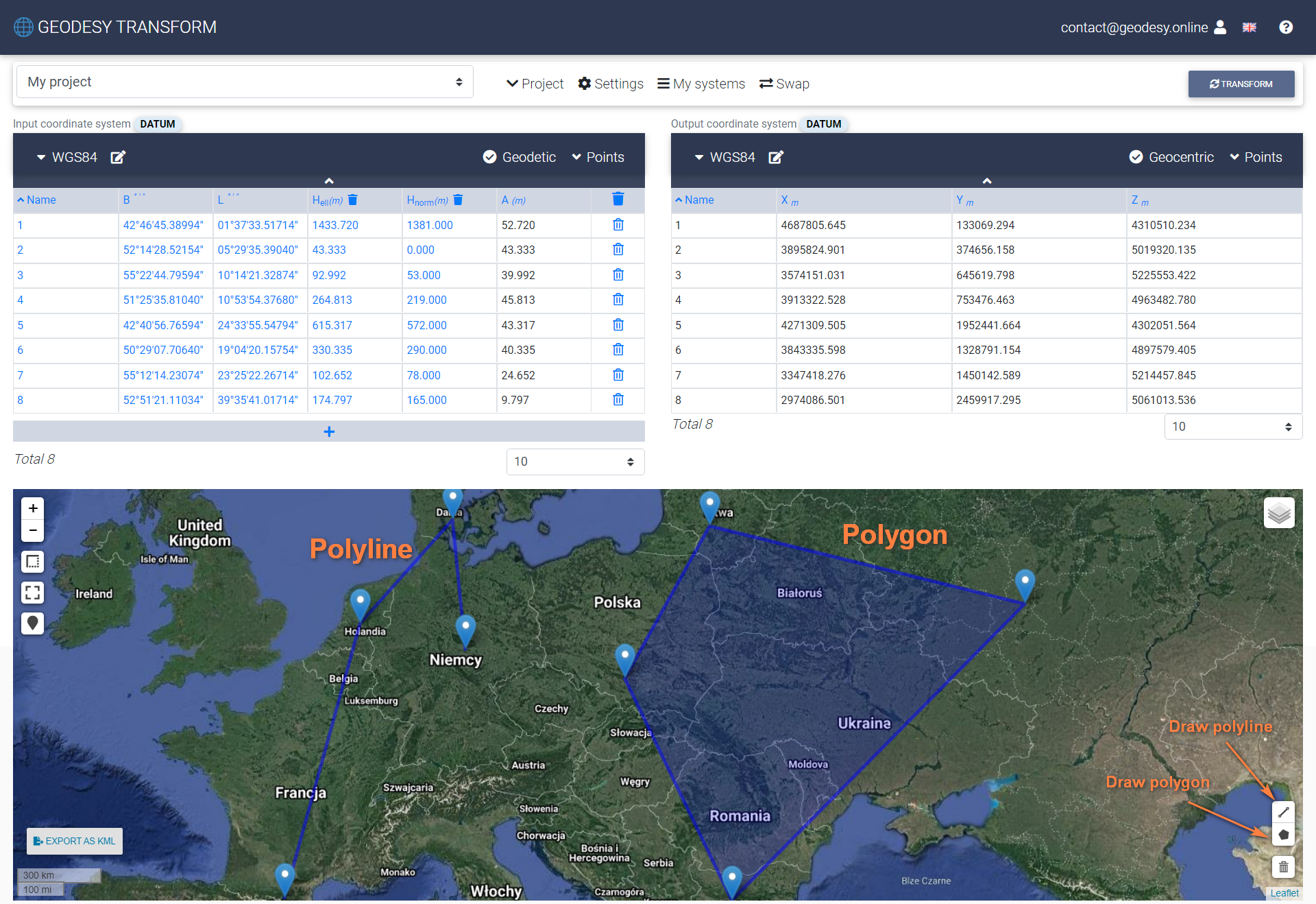
Also use Export as KML feature to export data for further processing in other apps (e.g. Google Earth).
For further information, or for any questions, you may contact us at [email protected]